MapInWild: A Remote Sensing Dataset to Address the Question What Makes Nature Wild
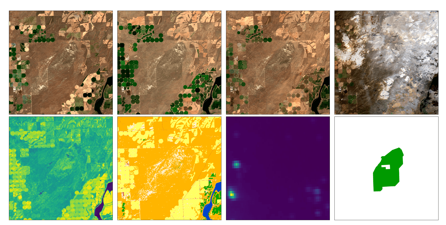
Antrophonegic pressure (i.e. human influence) on the environment is one of the largest causes of the loss of biological diversity. Wilderness areas, in contrast, are home to undisturbed ecological processes. However, there is no biophysical definition of the term wilderness. Instead, wilderness is more of a philosophical or cultural concept and thus cannot be easily delineated or categorized in a technical manner. With this paper, (i) we introduce the task of wilderness mapping by means of machine learning applied to satellite imagery (ii) and publish MapInWild, a large-scale benchmark dataset curated for that task. MapInWild is a multi-modal dataset and comprises various geodata acquired and formed from a diverse set of Earth observation sensors. The dataset consists of 8144 images with a shape of 1920 x 1920 pixels and is approximately 350 GB in size. The images are weakly annotated with three classes derived from the World Database of Protected Areas - Strict Nature Reserves, Wilderness Areas, and National Parks. With the dataset, which shall serve as a testbed for developments in fields such as explainable machine learning and environmental remote sensing, we hope to contribute to a deepening of our understanding of the question "What makes nature wild?".
PDF Abstract

