Building Lane-Level Maps from Aerial Images
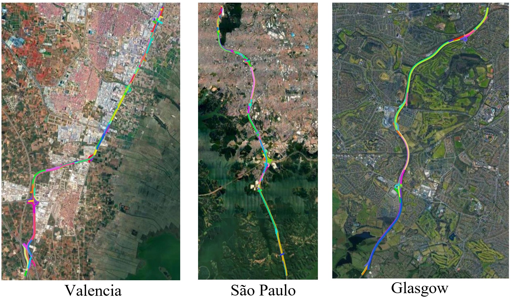
Detecting lane lines from sensors is becoming an increasingly significant part of autonomous driving systems. However, less development has been made on high-definition lane-level mapping based on aerial images, which could automatically build and update offline maps for auto-driving systems. To this end, our work focuses on extracting fine-level detailed lane lines together with their topological structures. This task is challenging since it requires large amounts of data covering different lane types, terrain and regions. In this paper, we introduce for the first time a large-scale aerial image dataset built for lane detection, with high-quality polyline lane annotations on high-resolution images of around 80 kilometers of road. Moreover, we developed a baseline deep learning lane detection method from aerial images, called AerialLaneNet, consisting of two stages. The first stage is to produce coarse-grained results at point level, and the second stage exploits the coarse-grained results and feature to perform the vertex-matching task, producing fine-grained lanes with topology. The experiments show our approach achieves significant improvement compared with the state-of-the-art methods on our new dataset. Our code and new dataset are available at https://github.com/Jiawei-Yao0812/AerialLaneNet.
PDF Abstract


