Search Results for author:
Found 5 papers, 2 papers with code
MTBF-33: A multi-temporal building footprint dataset for 33 counties in the United States (1900-2015)
We conducted a non-exhaustive search of open and publicly available data resources from administrative institutions in the United States and gathered, integrated, and harmonized cadastral parcel data, tax assessment data, and building footprint data for 33 counties, wherever building footprint geometries and building construction year information was available.

Towards the automated large-scale reconstruction of past road networks from historical maps
Transportation infrastructure, such as road or railroad networks, represent a fundamental component of our civilization.
Guided Generative Models using Weak Supervision for Detecting Object Spatial Arrangement in Overhead Images
Recent semi-supervised clustering approaches can reduce manual labeling but still require annotations for all object categories in the image.
A Label Correction Algorithm Using Prior Information for Automatic and Accurate Geospatial Object Recognition
Thousands of scanned historical topographic maps contain valuable information covering long periods of time, such as how the hydrography of a region has changed over time.

An Automatic Approach for Generating Rich, Linked Geo-Metadata from Historical Map Images
This paper presents an end-to-end approach to address the real-world problem of finding and indexing historical map images.
 Optical Character Recognition
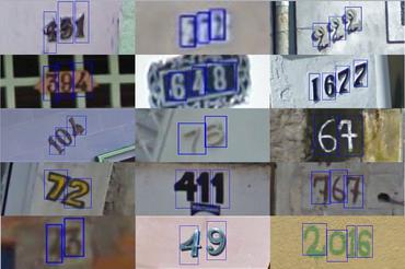 Optical Character Recognition (OCR)
