OpenStreetMap Multi-Sensor Scene Classification
Introduced by Swope et al. in Representation Learning for Remote Sensing: An Unsupervised Sensor Fusion Approach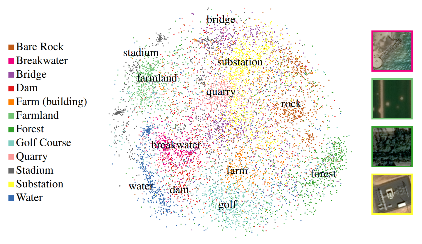
A high-resolution multi-sensor remote sensing scene classification dataset, appropriate for training and evaluating image classification models in the remote sensing domain.
The dataset consists of 8400 overhead scenes, each covered by Airbus Pléiades, Airbus SPOT, and USDA NAIP imagery. The scenes are classified into 12 OpenStreetMap categories:
- man_made=bridge
- man_made=breakwater
- building=farm
- power=substation
- leisure=stadium
- leisure=golf_course
- waterway=dam
- landuse=quarry
- landuse=farmland
- landuse=forest
- natural=water
- natural=bare_rock
Papers
| Paper | Code | Results | Date | Stars |
|---|
Dataset Loaders
No data loaders found. You can
submit your data loader here.
No data loaders found. You can
submit your data loader here.


