inD Dataset (Intersection Drone Dataset)
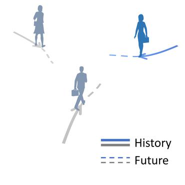
Introduced by Bock et al. in The inD Dataset: A Drone Dataset of Naturalistic Road User Trajectories at German IntersectionsThe inD dataset is a new dataset of naturalistic vehicle trajectories recorded at German intersections. Using a drone, typical limitations of established traffic data collection methods like occlusions are overcome. Traffic was recorded at four different locations. The trajectory for each road user and its type is extracted. Using state-of-the-art computer vision algorithms, the positional error is typically less than 10 centimetres. The dataset is applicable on many tasks such as road user prediction, driver modeling, scenario-based safety validation of automated driving systems or data-driven development of HAD system components.
Papers
| Paper | Code | Results | Date | Stars |
|---|
Dataset Loaders
No data loaders found. You can
submit your data loader here.
No data loaders found. You can
submit your data loader here.


