Search Results for author:
Found 10 papers, 3 papers with code
Adaptive Fusion of Multi-view Remote Sensing data for Optimal Sub-field Crop Yield Prediction
The GU module learned different weights based on the country and crop-type, aligning with the variable significance of each data source to the prediction task.

Predicting Crop Yield With Machine Learning: An Extensive Analysis Of Input Modalities And Models On a Field and sub-field Level
We introduce a simple yet effective early fusion method for crop yield prediction that handles multiple input modalities with different temporal and spatial resolutions.
RapidAI4EO: Mono- and Multi-temporal Deep Learning models for Updating the CORINE Land Cover Product
The results demonstrate an improvement of approximately 0. 89% in classifying satellite imagery on 15 classes using a multi-temporal approach on monthly time series images compared to the mono-temporal approach.


RapidAI4EO: A Corpus for Higher Spatial and Temporal Reasoning
Under the sponsorship of the European Union Horizon 2020 program, RapidAI4EO will establish the foundations for the next generation of Copernicus Land Monitoring Service (CLMS) products.

Mapping Informal Settlements in Developing Countries using Machine Learning and Low Resolution Multi-spectral Data
2) We show that it is possible to detect informal settlements using freely available low-resolution (LR) data, in contrast to previous studies that use very-high resolution (VHR) satellite and aerial imagery, something that is cost-prohibitive for NGOs.
Generating Material Maps to Map Informal Settlements
Detecting and mapping informal settlements encompasses several of the United Nations sustainable development goals.
Mapping Informal Settlements in Developing Countries with Multi-resolution, Multi-spectral Data
We propose two effective methods for detecting and mapping the locations of informal settlements.
Overcoming Missing and Incomplete Modalities with Generative Adversarial Networks for Building Footprint Segmentation
This assumption limits the applications of multi-modal models since in practice the data collection process is likely to generate data with missing, incomplete or corrupted modalities.

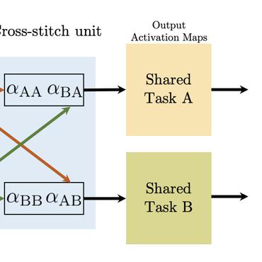
Multi-Task Learning for Segmentation of Building Footprints with Deep Neural Networks
In this paper, we address the problem of preserving semantic segmentation boundaries in high resolution satellite imagery by introducing a new cascaded multi-task loss.
EuroSAT: A Novel Dataset and Deep Learning Benchmark for Land Use and Land Cover Classification
We present a novel dataset based on Sentinel-2 satellite images covering 13 spectral bands and consisting out of 10 classes with in total 27, 000 labeled and geo-referenced images.

